The destruction of Gaza.
Numbers hold death at a distance. These photographs do not. Between October 2023 and 2025, satellite analysis by the UN and Yale's Conflict Observatory estimated that between 60% and 70% of all structures in the Gaza Strip were damaged or destroyed. Entire neighborhoods of Gaza City, Khan Younis, Jabalia, and Rafah were reduced to rubble. Hospitals, schools, bakeries, universities, and refugee camps were among the structures hit. This gallery documents a small fraction of that damage, drawn from the public record on Wikimedia Commons.
Damage in Al-Rimal following Israeli airstrikes in the first days of the war. Al-Rimal was the commercial and residential heart of Gaza City; by late 2023, most of it was uninhabitable.
A building destroyed in Israeli airstrikes on Khan Younis, one day after the October 7 attack and the beginning of the bombing campaign.
A collapsed apartment block, one of hundreds flattened in the first weeks of the air campaign. More than half of all housing units in Gaza were damaged or destroyed by early 2024.
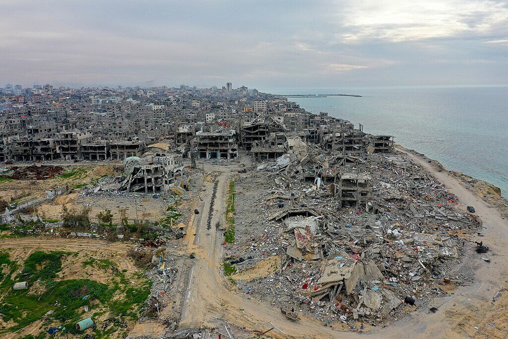
Aerial view of the Beach refugee camp — one of the eight original UNRWA refugee camps, established in 1948 for Palestinians displaced from Jaffa and the coastal plain. By 2024, satellite analysis showed the majority of the camp had been destroyed.
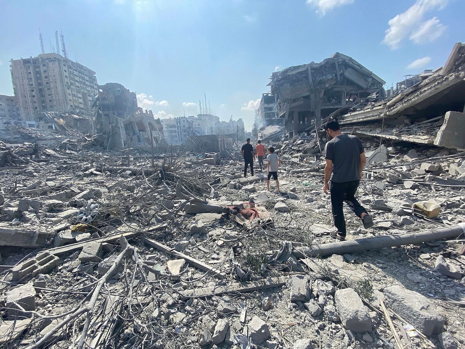
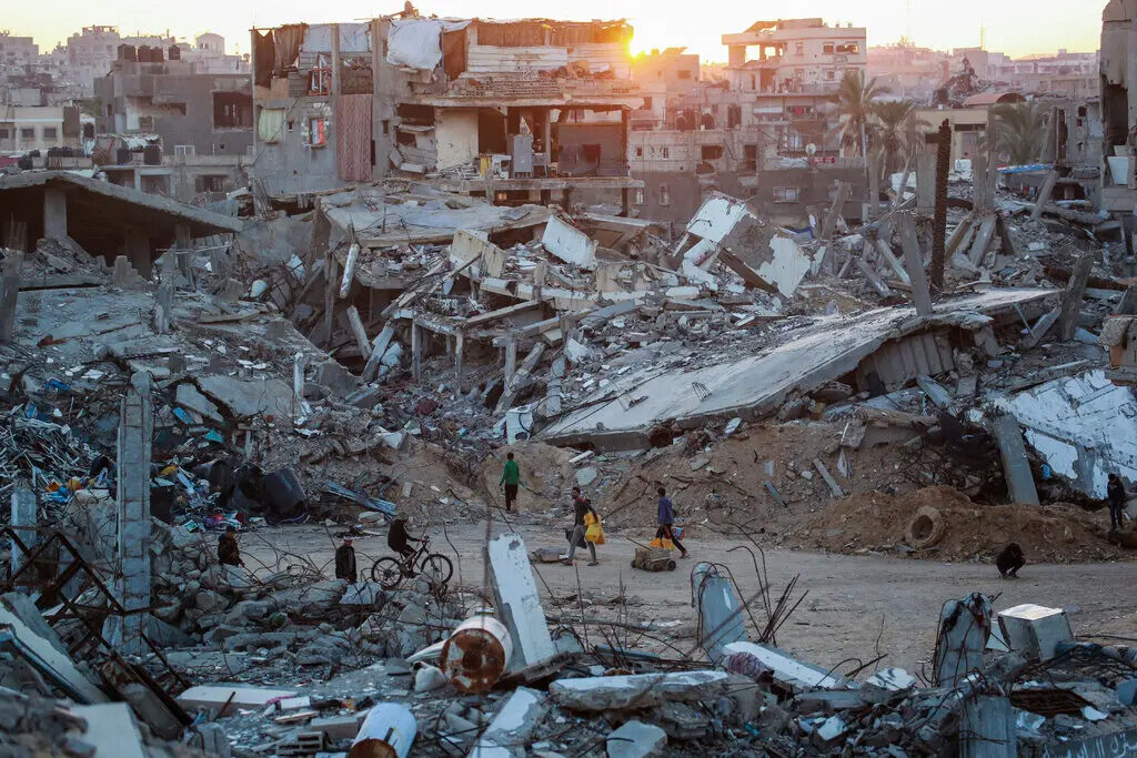
Rubble in a residential street. UN estimates put the volume of debris in Gaza at more than 50 million tons by late 2024 — debris that will take years to clear and contains unexploded ordnance.
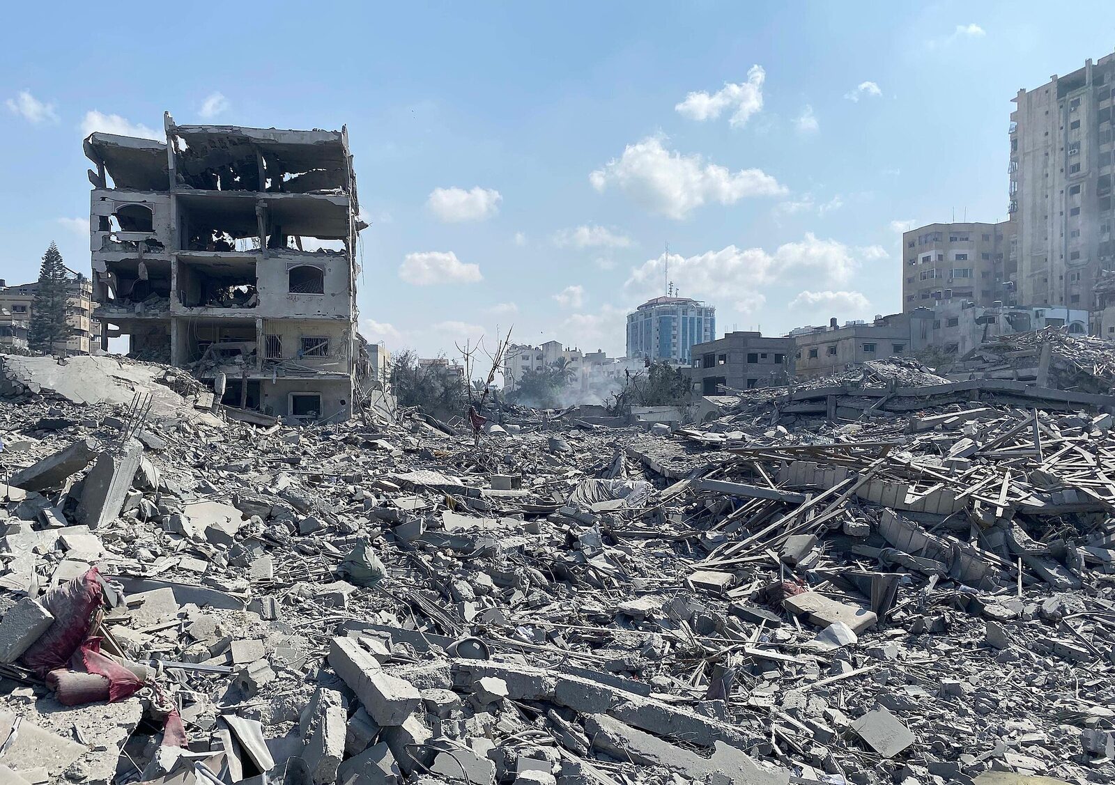
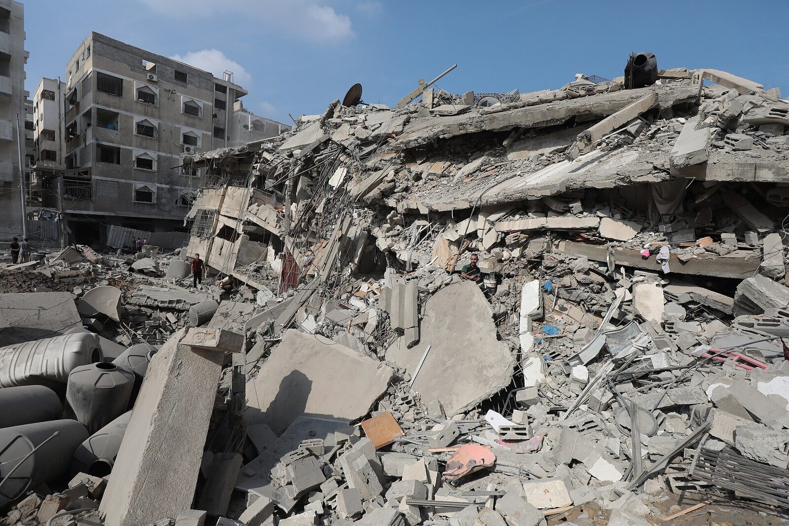
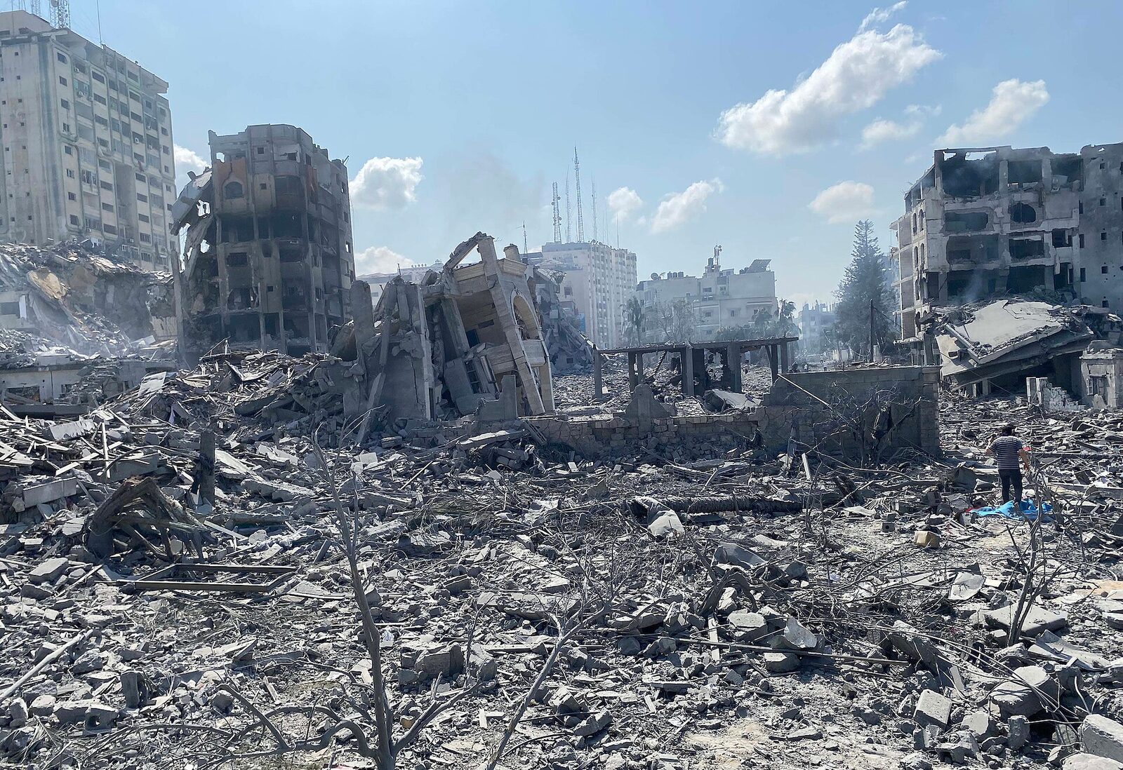
A residential building with its façade shorn away. Interior spaces that were kitchens, bedrooms, and living rooms are exposed to the street.
Drone imagery of airstrike aftermath in Deir al-Balah, one of the central Gaza towns that absorbed repeated displacement waves from the north and south.
The destroyed UNRWA Zaitoun Boys School. UNRWA reported that by 2024, the majority of its school buildings in Gaza had been damaged or destroyed, including those being used as shelters for displaced families.
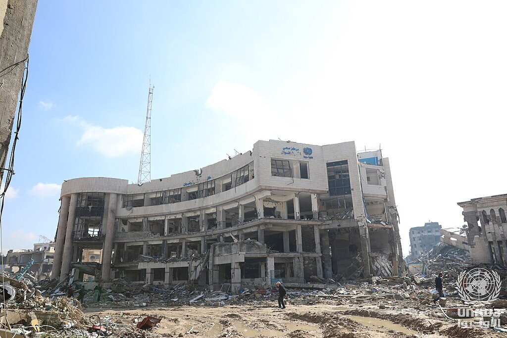
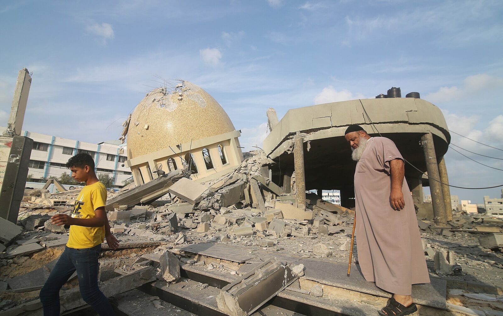
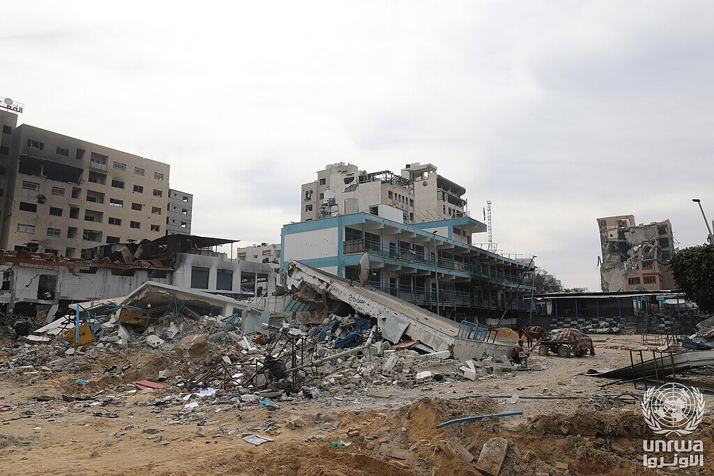
The destroyed UNRWA Sheikh Radwan primary health care center. WHO recorded more than 800 attacks on health care in Gaza between October 2023 and the end of 2024.
Ruins of Khan Younis, southern Gaza. By late 2024, satellite analysis estimated that more than 60% of Khan Younis's buildings had been damaged or destroyed.
Al-Wahda Street — one of Gaza City's main thoroughfares, lined before the war with apartment towers, cafés, and the Al-Wahda Medical Complex. The street was the site of the May 2021 airstrike that killed 42 people in a single building collapse; it was repeatedly hit again after October 2023.
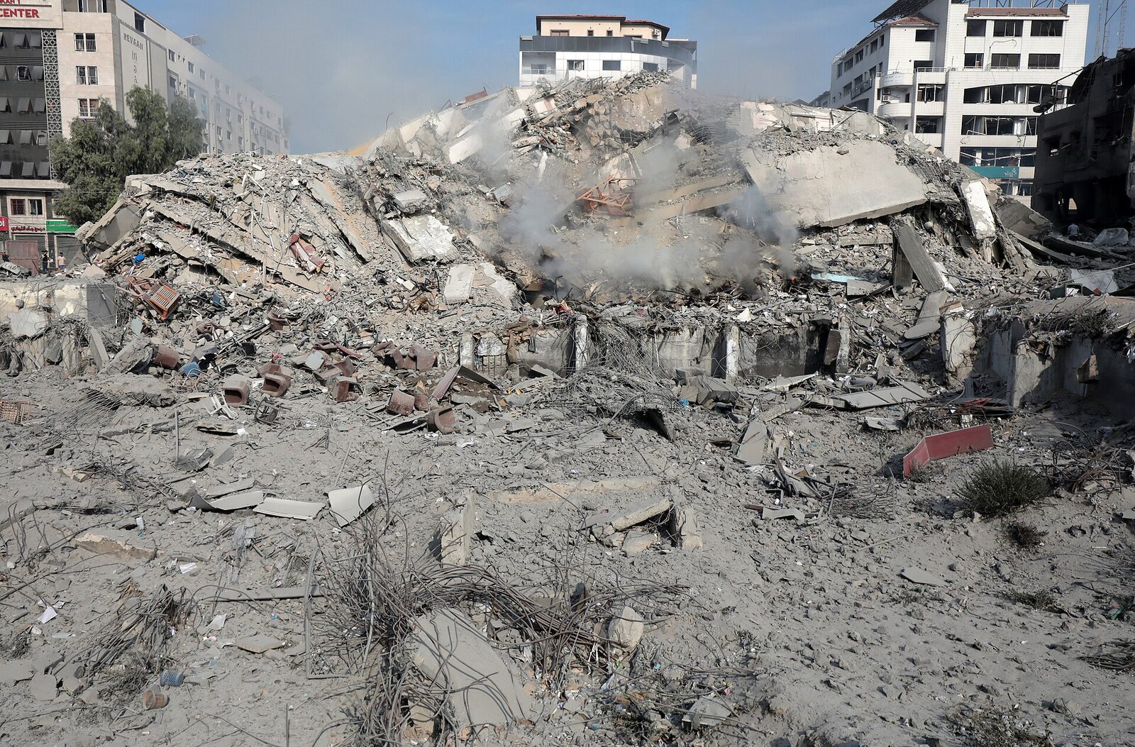
Smoke and debris in a Gaza street during the first weeks of the air campaign. Photographs from this period are among the few taken by local journalists before much of the Strip's press infrastructure was destroyed or its journalists killed.
About these photographs
Every image on this page is hosted on Wikimedia Commons under a Creative Commons or public-domain license. Originals are available at the credit link under each photograph. Many were taken by Palestinian photographers working for APA images or local outlets; others are official UNRWA documentation of destroyed facilities.
This gallery shows physical destruction, not the bodies of the dead. The choice to exclude the latter is not a judgment about its importance — those images are widely available and bear witness in a way photographs of buildings cannot — but a choice about what this page is for. For the broader visual record, the UN OCHA oPt, UNRWA, Al Jazeera, and the Yale Conflict Observatory maintain ongoing documentation.
Quantitative estimates of the destruction cited on this page come from the UN Satellite Centre (UNOSAT) Gaza damage assessments and the Yale Conflict Observatory.